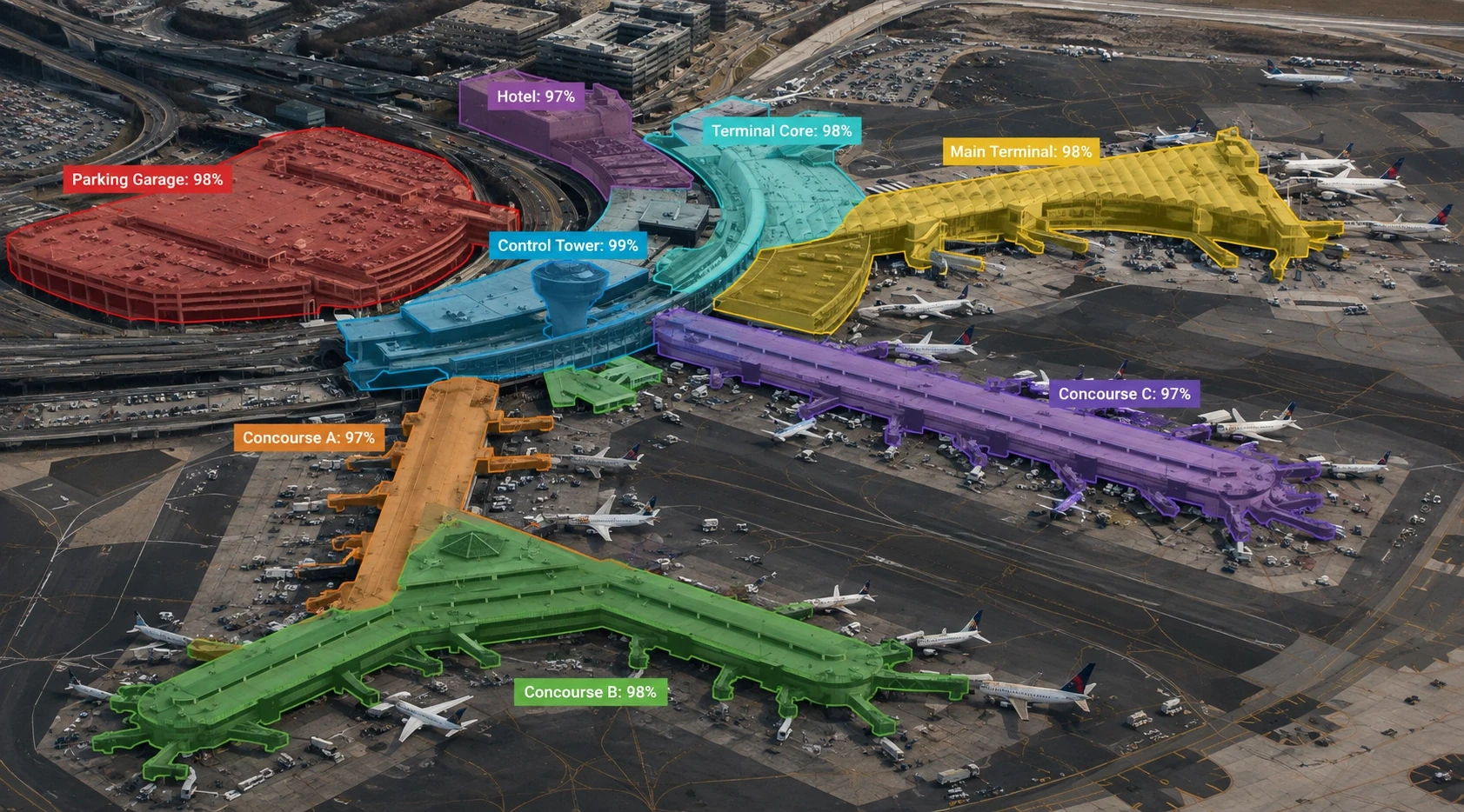
Land Use and Land Cover Classification
Gain accurate land use insights with annotated data.
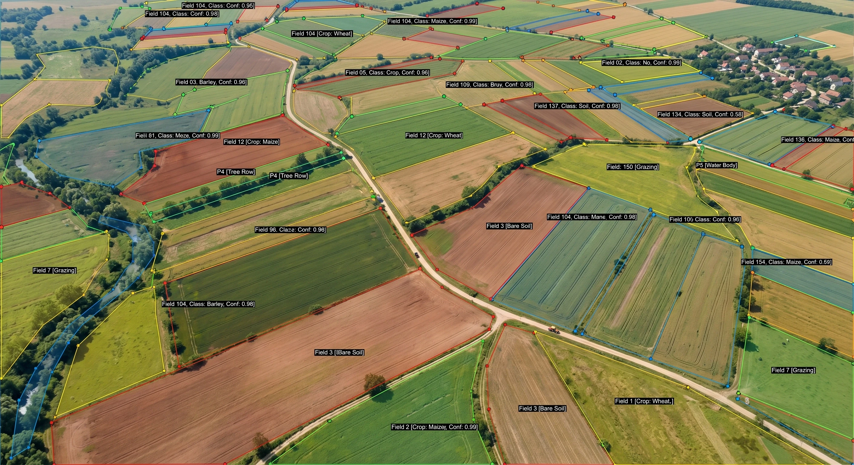
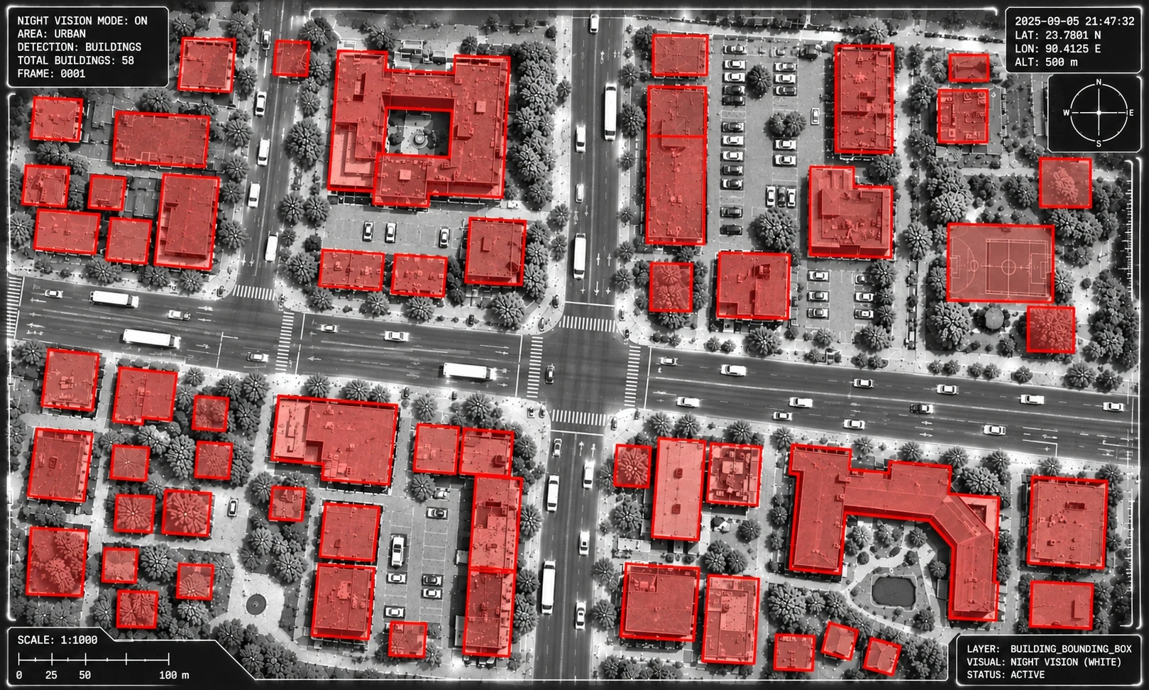
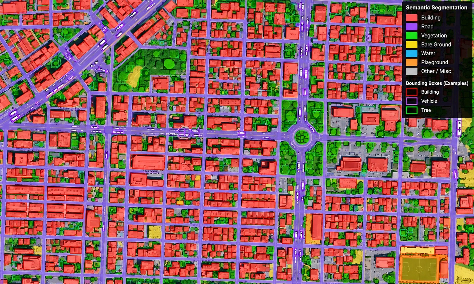
Expert satellite and aerial imagery annotation for geospatial AI — land use, road networks, and change detection at continental scale.
RUN FREE PILOT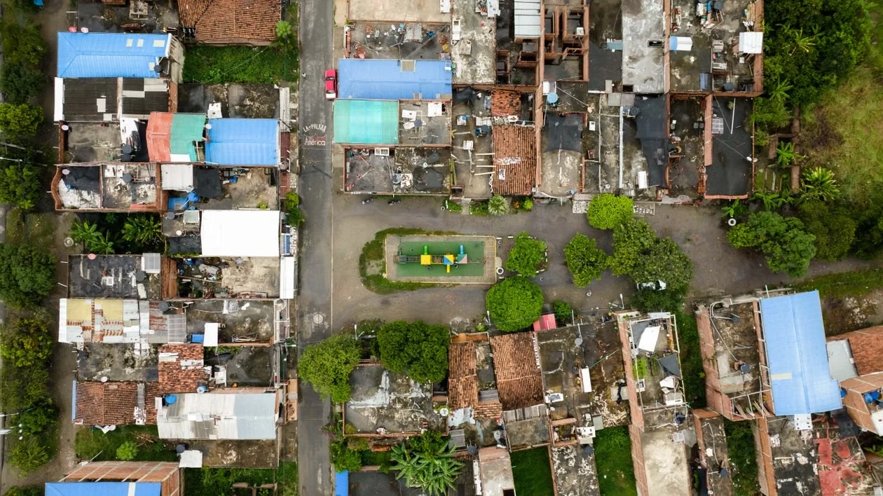
Trusted by leading brands







.webp)
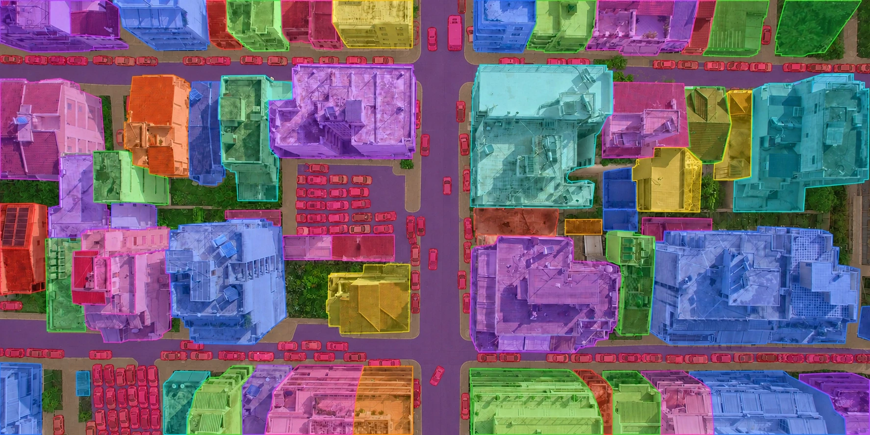
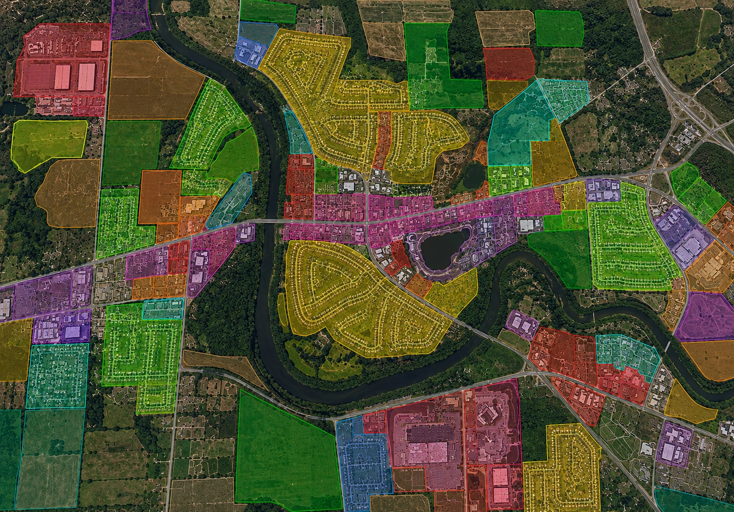
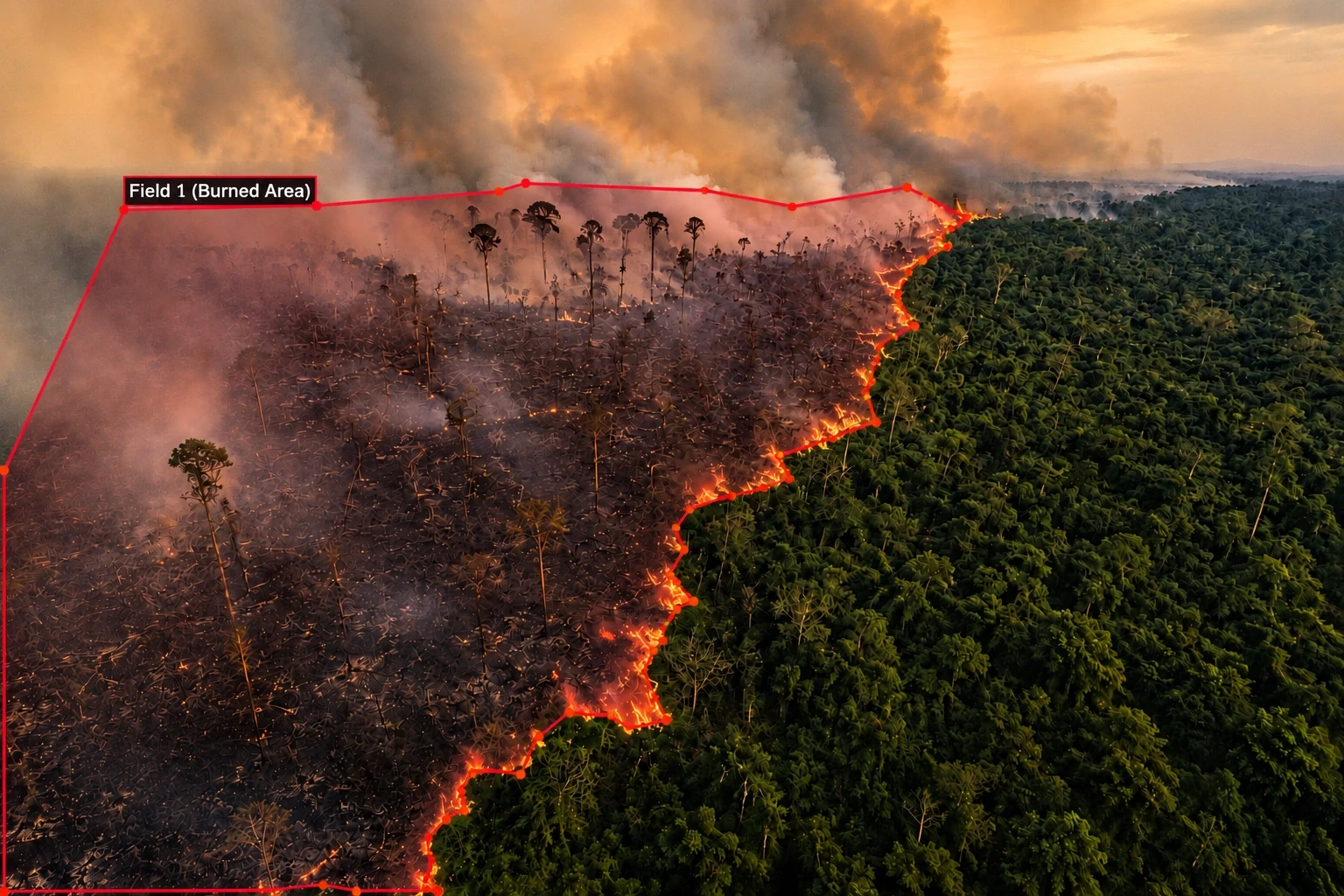
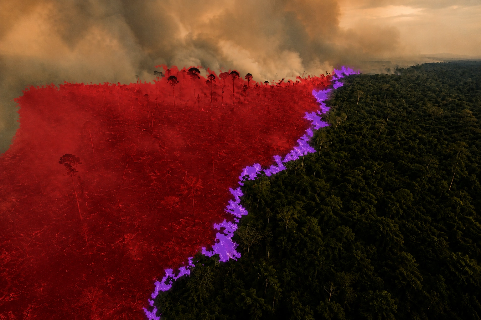
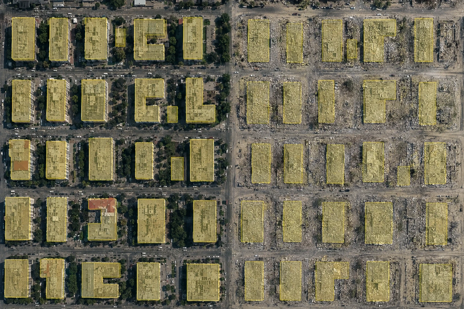
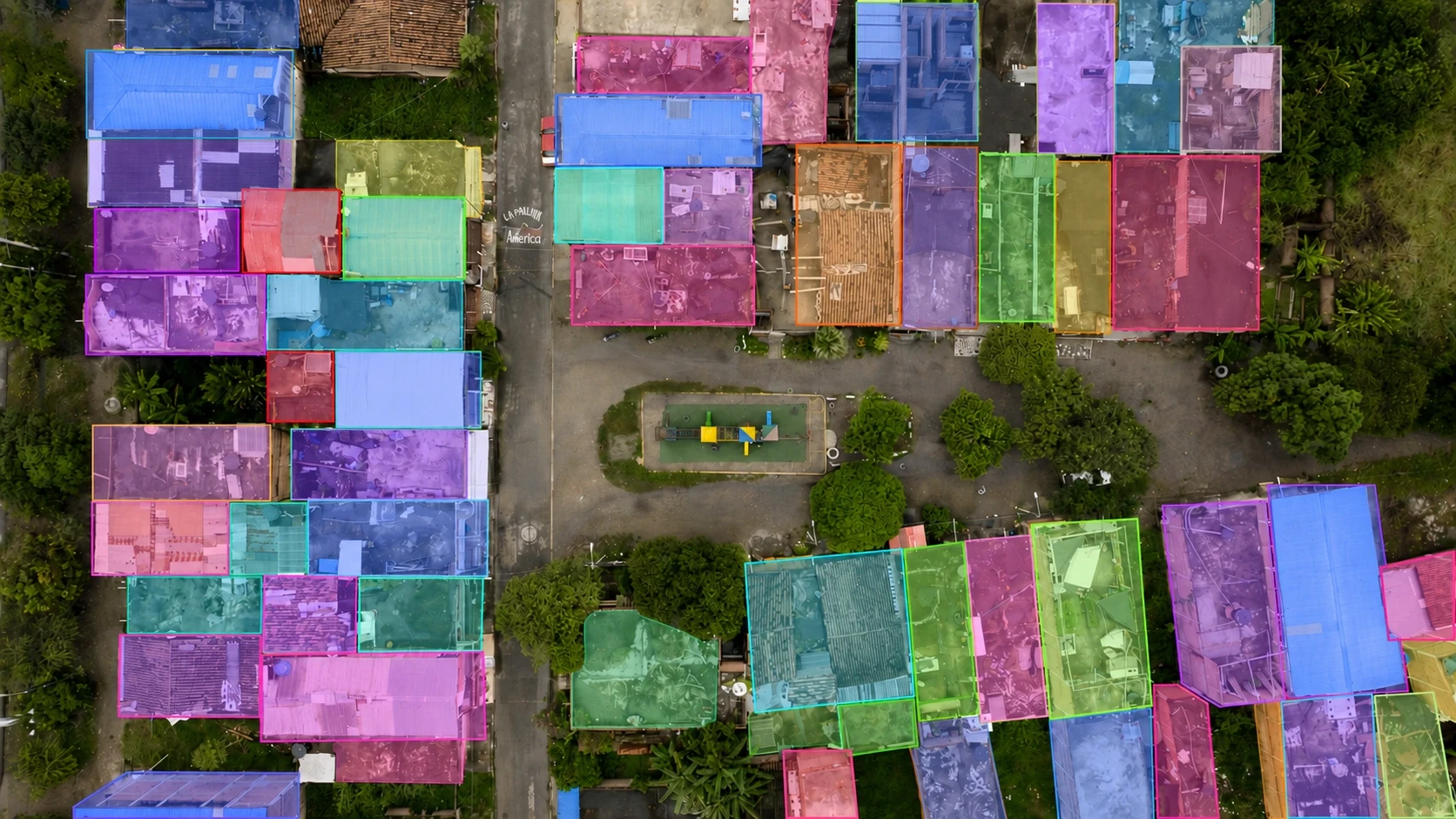
In the area of GIS annotation services, we work with all major geospatial data formats and resolutions. Our global team can expertly deliver the following satellite data annotation services (but we are always open to your custom projects):
Gain accurate land use insights with annotated data.
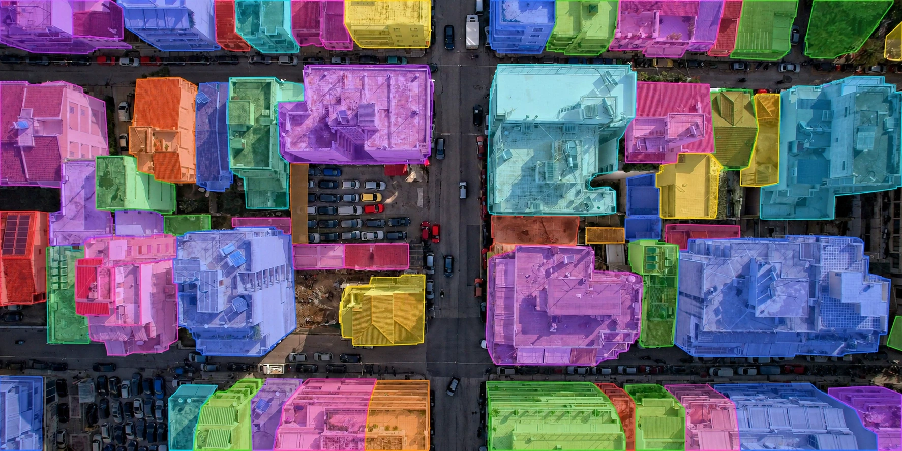
Gain accurate land use insights with annotated data.
We exist for a future where geospatial AI models are trained on expertly annotated, globally consistent satellite and aerial data.
Our annotators are trained in geospatial analysis, satellite interpretation, and GIS software — not generic image labelers.
Every polygon layer is validated for geometric consistency, topological errors, and class boundary continuity.
GeoJSON, Shapefile, GeoTIFF, KML — we deliver in your CRS and projection system, ready for GIS workflows.
Your trust is our foundation. Engai is designed with a deep commitment to data privacy and security.
fill up this form to send your pilot request
Discover how Engai's Data Pipeline and AI Infrastructure platform can make your organization AI-ready:
Automatically discover and map all datasets with contextualized inventory
Effortlessly manage ML lifecycle and address governance gaps
Drastically reduce deployment time by mitigating edge-case risks
Immediately detect and respond to model drift to minimize threat impact
Proactively apply zero-trust protection mechanisms for proprietary data
Your requirements and proprietary sample assets are encrypted in transit and never used for public model training.
We work with imagery from all major providers: Maxar, Planet Labs, Airbus, Sentinel-2, Landsat, NAIP, and custom drone captures. We support all standard resolutions from 30cm to 10m pixel GSD, and our annotators are trained to calibrate their precision requirements based on the imagery resolution.