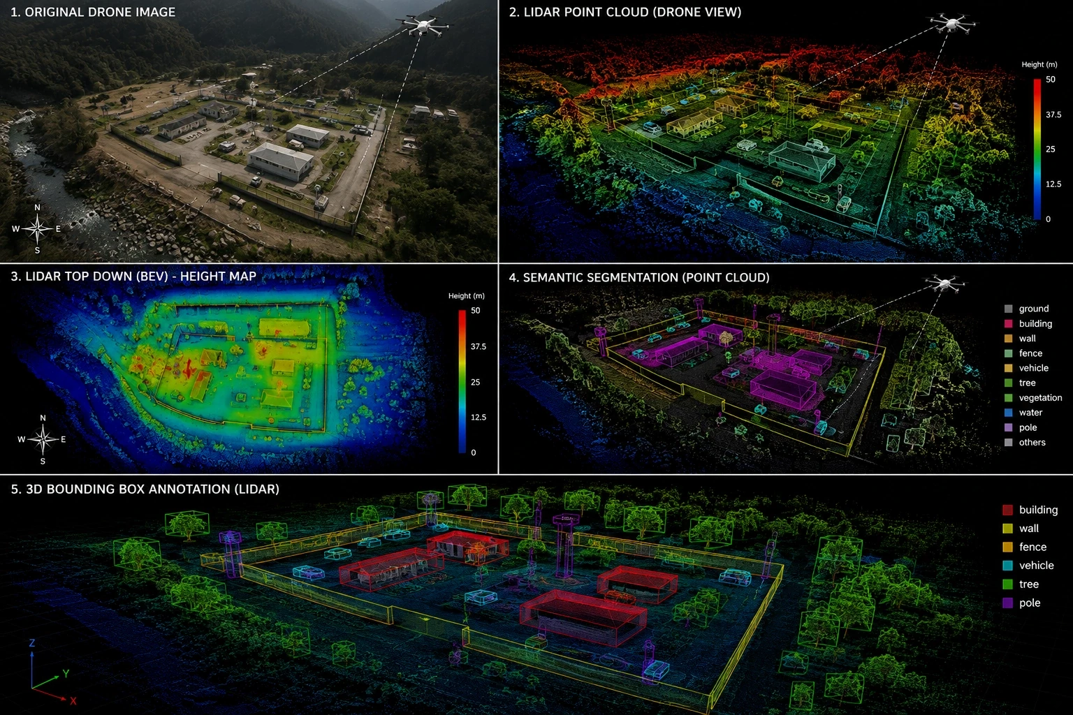
Autonomous Driving
Label LiDAR and RADAR data for vehicle, pedestrian, and road sign detection.
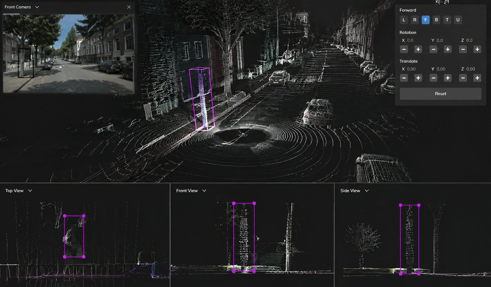
Precision 3D bounding cuboids, semantic point segmentation, and sensor fusion labeling for autonomous driving and spatial AI models.
Trusted by leading brands







.webp)
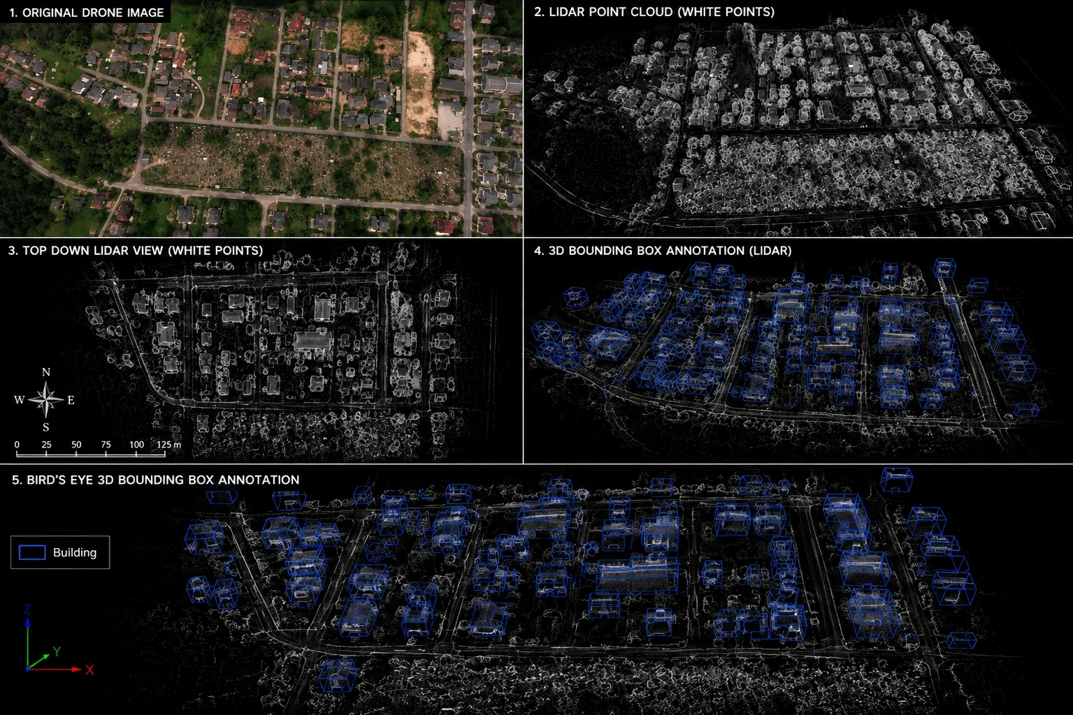
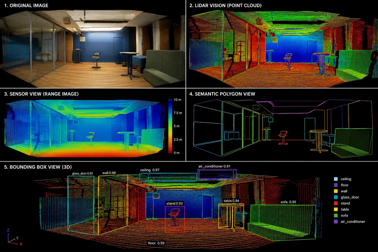
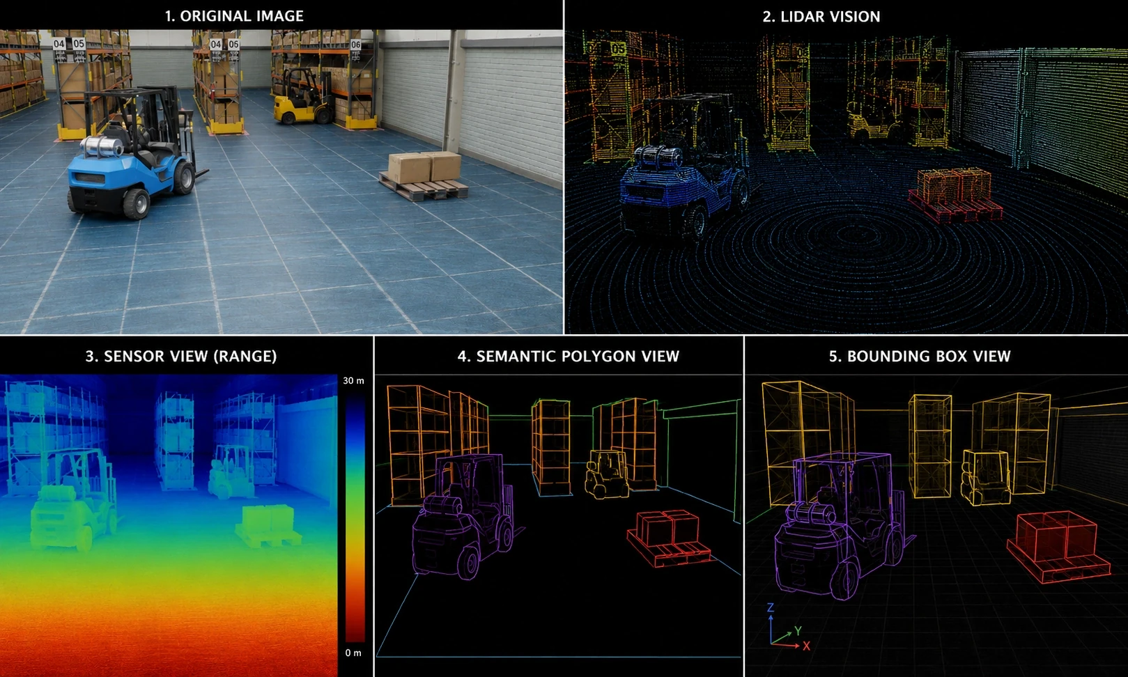
In the area of 3D point cloud annotation services, we work with all major spatial data formats and sensor modalities. Our global team can expertly deliver the following 3D LiDAR and point cloud annotation services (but we are always open to your custom projects):
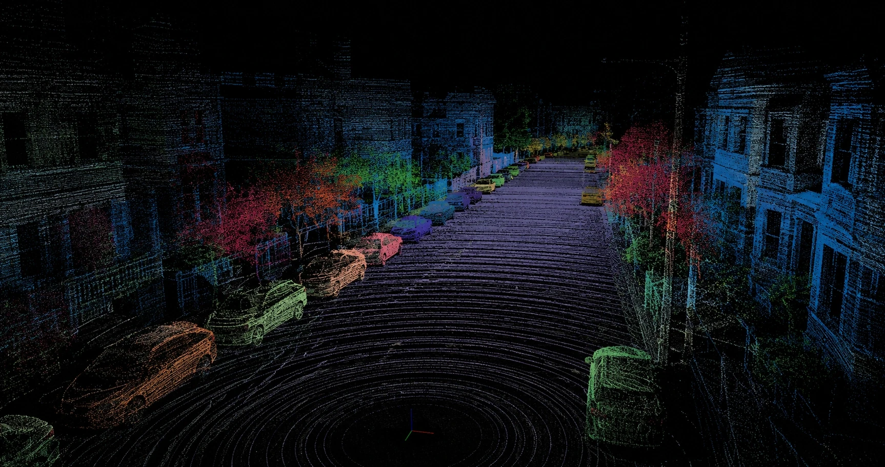
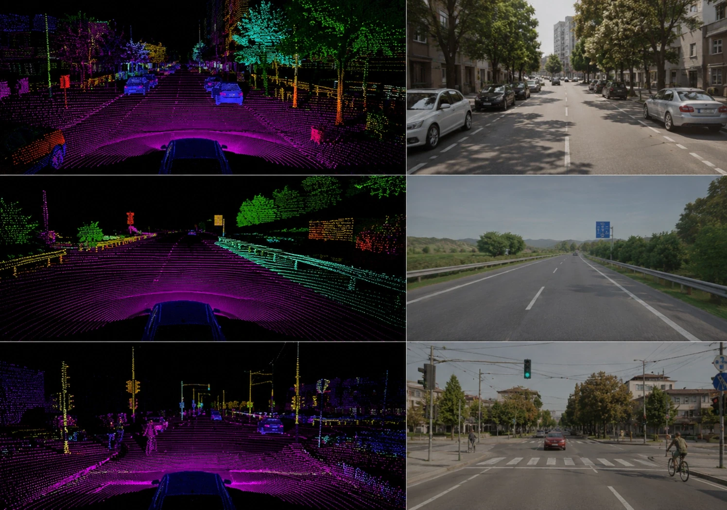
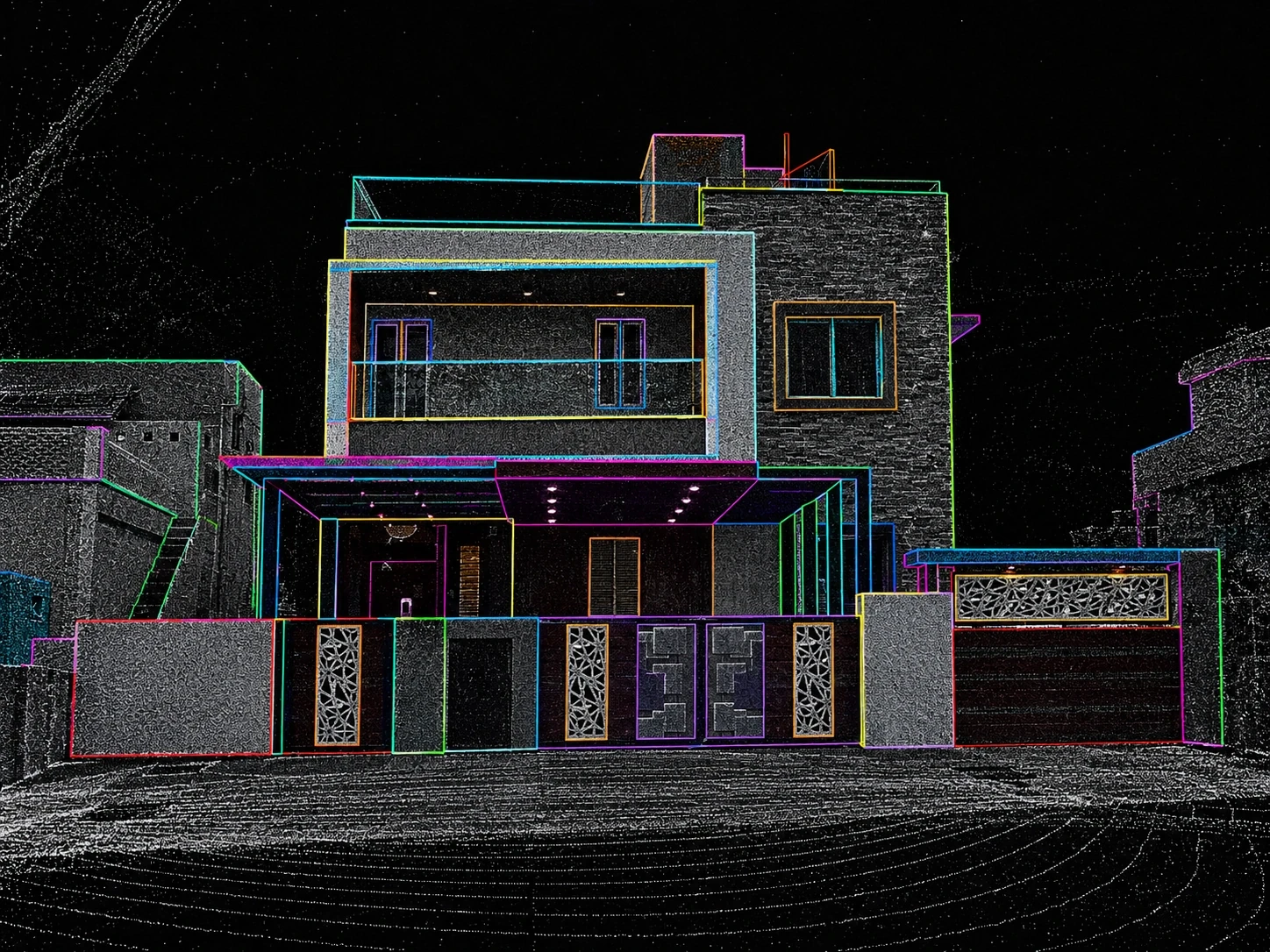
Synchronized 360° LiDAR point cloud projection with multi-camera fusion, tracking vehicles and pedestrians across dense traffic corridors.
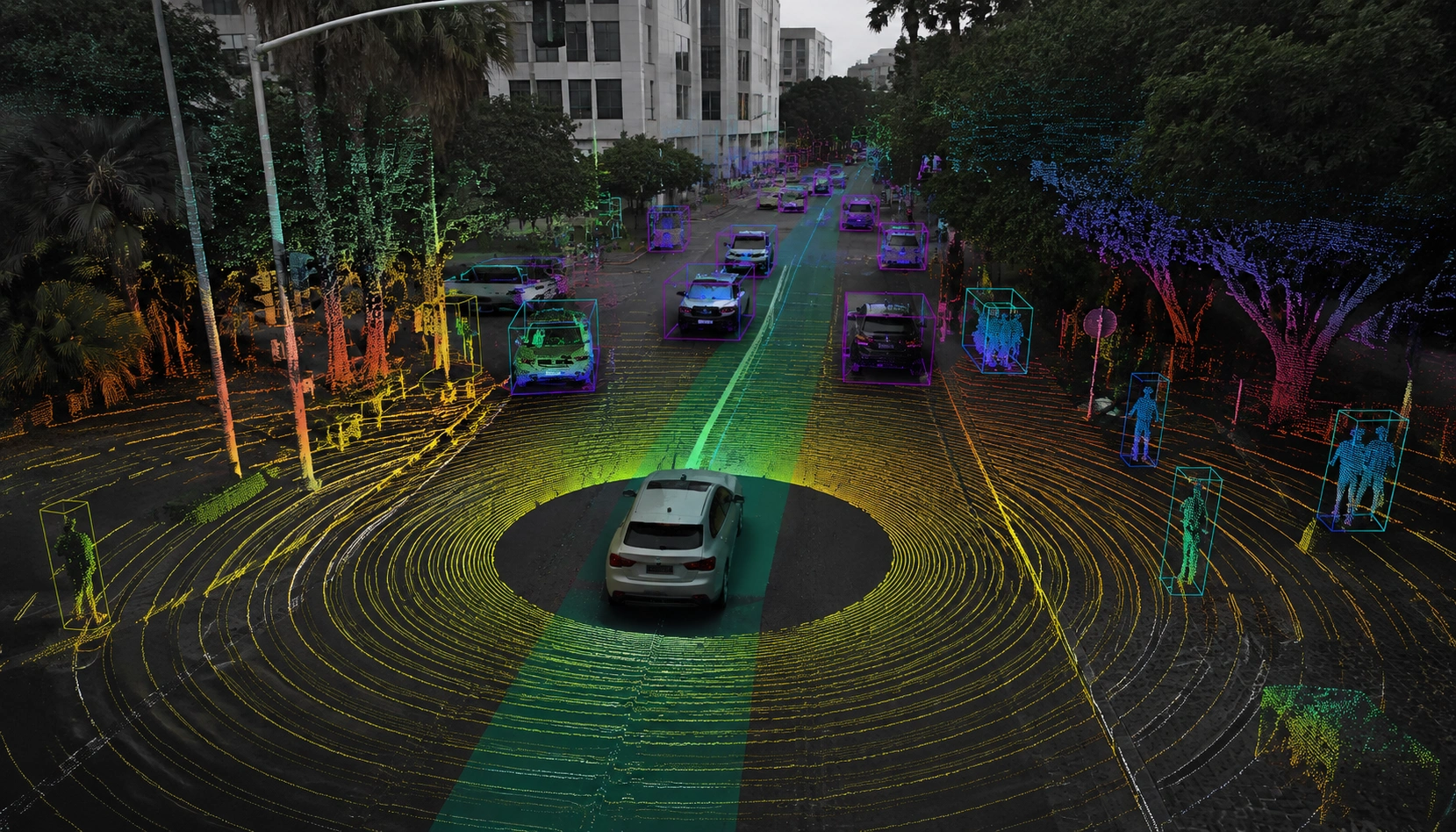
We transform raw point clouds into high-precision datasets ready for state-of-the-art spatial AI models.
Speed up your model training with perfectly structured, instantly usable 3D spatial data flows designed for seamless LiDAR fusion.
Our stringent multi-level QA protocols and proprietary 3D tooling ensure the highest possible ground-truth accuracy.
Whether you need thousands of point clouds or millions of sequenced frames labeled, our workforce scales effortlessly.
Your trust is our foundation. Engai is designed with a deep commitment to spatial data privacy and security. Visit our trust page and security center to learn more.
fill up this form to send your pilot request
Discover how Engai's Data Pipeline and AI Infrastructure platform can make your organization AI-ready:
Automatically discover and map all datasets with contextualized inventory
Effortlessly manage ML lifecycle and address governance gaps
Drastically reduce deployment time by mitigating edge-case risks
Immediately detect and respond to model drift to minimize threat impact
Proactively apply zero-trust protection mechanisms for proprietary data
Your requirements and proprietary sample assets are encrypted in transit and never used for public model training.
3D point cloud annotation operates in volumetric space — annotators must place 3D bounding boxes, draw polygon meshes, and classify individual points across XYZ coordinates and time dimensions. It requires specialized tooling, spatial reasoning skills, and domain expertise in LiDAR sensor physics that standard image annotators do not possess.