Data Annotation for
Drones and Aerial Imagery
Optimize your aerial imagery and drone-derived data for precise model training with our specialized drone data annotation services.
Trusted by leading brands







.webp)
Featured Case Studies

Main challenge:
High-volume aerial data annotation for warehouse automation tasks within tight deadlines.
Solution:
Specialized team training for precise annotation of datasets specifically for indoor drones.
Drone Data Annotation for Warehouse Efficiency
A US-based autonomous flying drones manufacturer focused on warehouse automation tasked Engai with a brief but critical high-volume project. Our annotators analyzed over 20,000 video frames, leveraging advanced aerial data annotation techniques for the detection of shelves, products, packages, and workers in complex warehouse environments. Our team's focused training in annotating drone data allowed us to provide our client with the pixel-perfect datasets they needed to rapidly train their computer vision algorithms for enhanced warehouse automation.
We innovate precision
mapping using live aerial data
Engai customers are achieving significant results by leveraging our automated annotation solutions across their commercial drone fleets and autonomous mapping systems.
Our Annotation Services for Drone Data & Aerial Imagery
In the area of annotation services for drone data, we work with all major drone annotation types and data formats. Our global team can expertly deliver the following drone data annotation services (but we are always open to your custom projects):
Bounding Boxes for Satellite Imagery
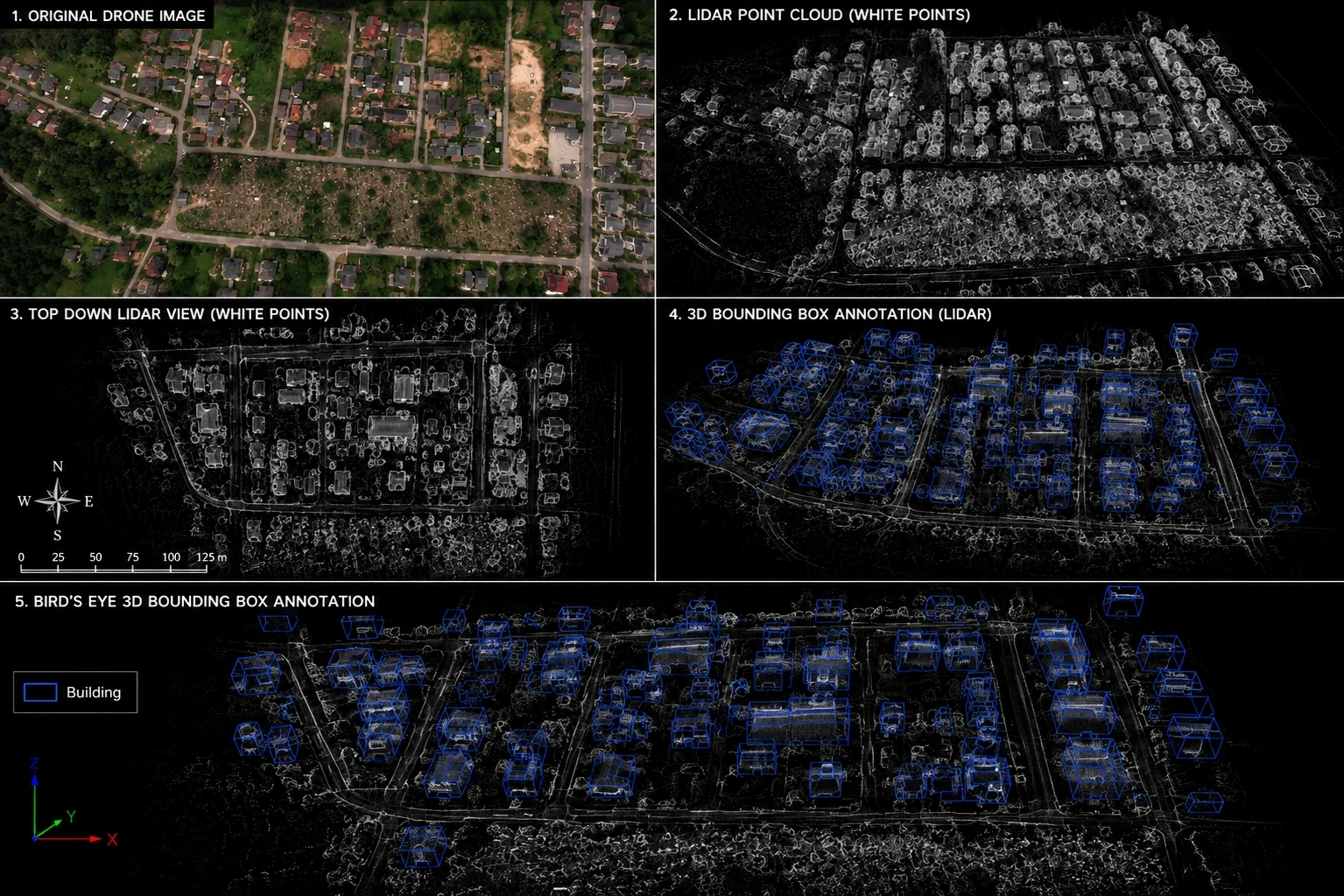
We use bounding boxes to pinpoint rooftops and various objects within satellite images. These annotations are used for object detection and localization tasks.

Location Intelligence
Equip drones with real-time obstacle detection and flight path optimization.
Drones often struggle with real-time obstacle detection in dense urban or forest environments. We provide high-density polygon and 3D cuboid annotation that enables drones to 'see' and react to obstacles with millisecond precision.
Autonomous Surveillance
Automate defect detection across critical infrastructure.
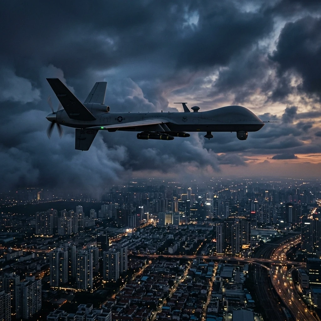
Identifying anomalous behavior or specific objects across multiple moving camera feeds is prone to high false-alarm rates. Our multi-frame tracking ensures consistent identity preservation and behavior recognition across complex temporal data.
3D Mapping
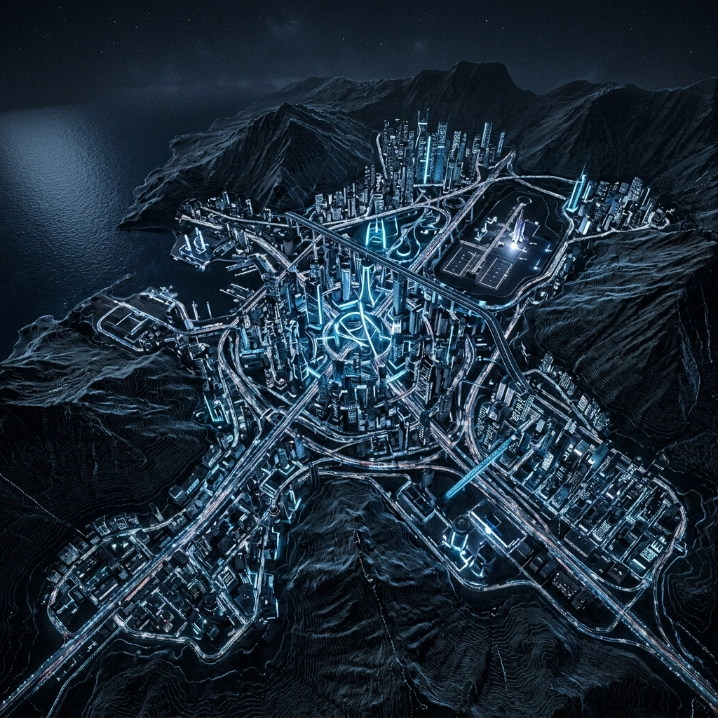
Accurate depth estimation and orientation for complex tracking in LiDAR and stereo-vision datasets for advanced topology generation.
Agriculture
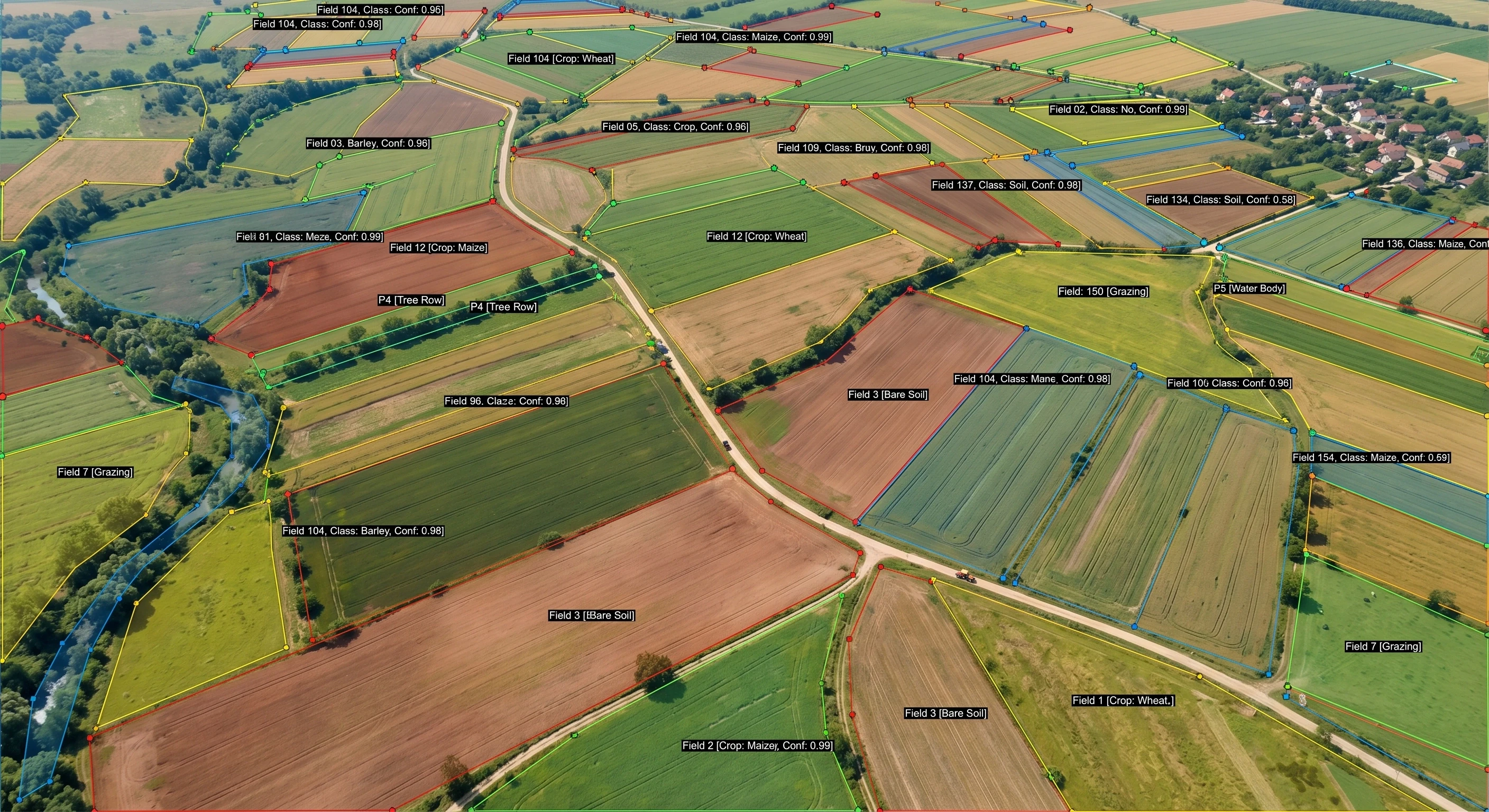
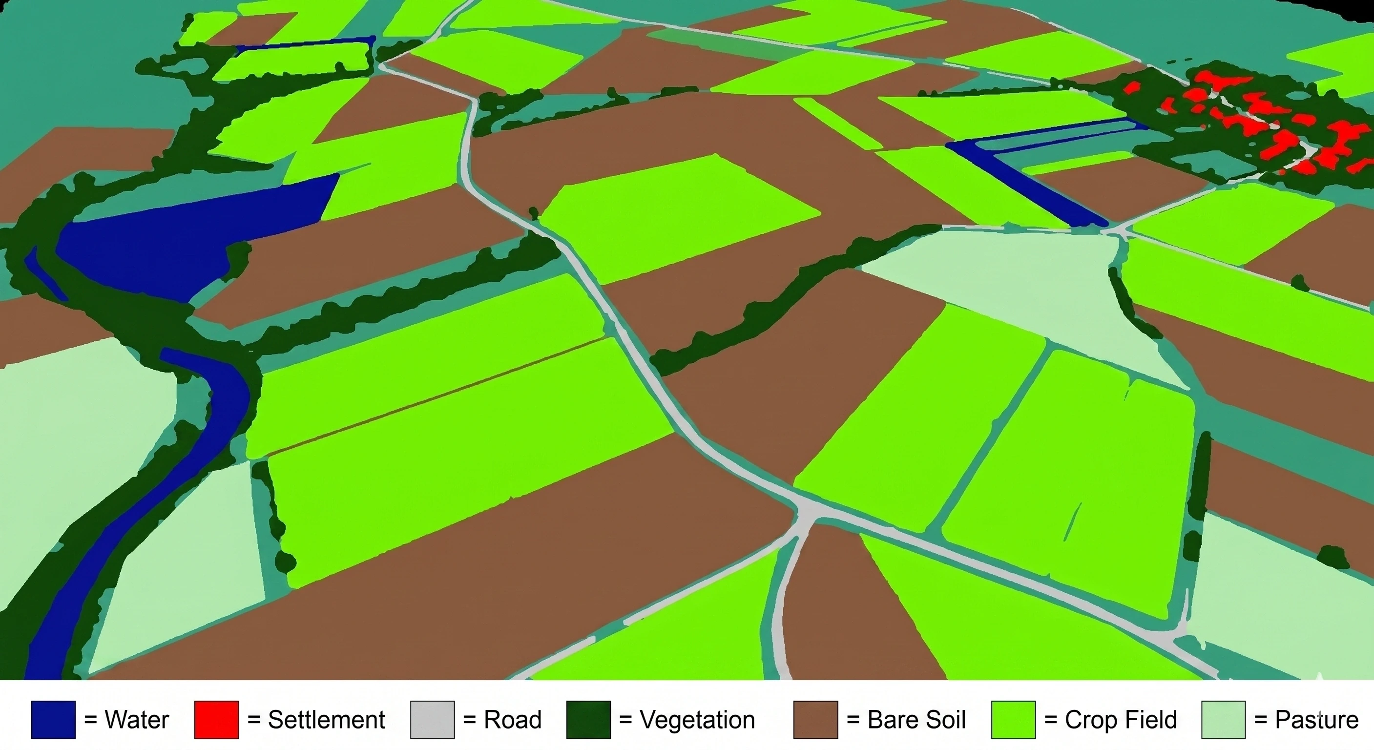
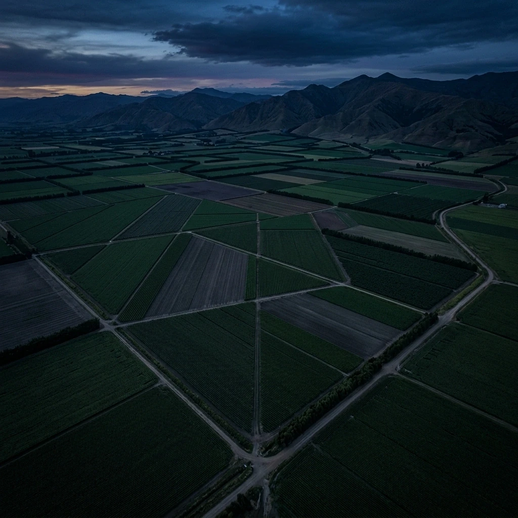
Pixel-perfect segmentation for land-use classification and autonomous topology generation optimizing large scale farming.
SYSTEMS
We build advanced autonomous AI systems with AI-powered data search and precision object detection
Sensor Fusion & Video Processing
Advanced video handling with multi-sensor integration for comprehensive scene understanding.
Computer Vision
Pixel-perfect segmentation and bounding boxes for detailed object identification.
Pedestrian and Vehicle Behaviors
High-precision mapping and tracking tailored for drone safety and compliance.
Traffic Signal and Sign Recognition
Real-time recognition of hazards and dynamic objects in complex airspaces.
Road Conditions & Hazard Detection
Seamless handling of massive LiDAR point clouds and photogrammetry.
Routing Parameters & Connections
Deep integration with drone flight data for improved predictive models.
Deploy AI anywhere
Use it in the way that best fits your on-site requirements
On-Premise / Edge
Secure local processing for sensitive datasets and minimal latency. Perfectly suited for defense or proprietary mapping.
Cloud
Highly scalable infrastructure powered by AWS/GCP to process petabytes of drone-captured data globally.
How can we help?
- Get immediate access to Engai's platform
- Consult with our AI annotation specialists
- Experience our 99.9% accuracy guarantee
Trusted by industry leaders to deliver the perfect ground truth for autonomous systems globally.
View case studies ▼