Land-cover mapping
Challenge
Similar textures make land-cover boundaries uncertain.
Our approach
Trace land-use regions and document transitions between adjacent classes.
Drone surveys, satellite scenes and overhead inspections need labels that capture real operational detail. Engai prepares aerial datasets around your objects, scenes and review requirements.
Trusted by leading brands






.webp)
Aerial Data Annotation services for a wide range of computer vision applications.
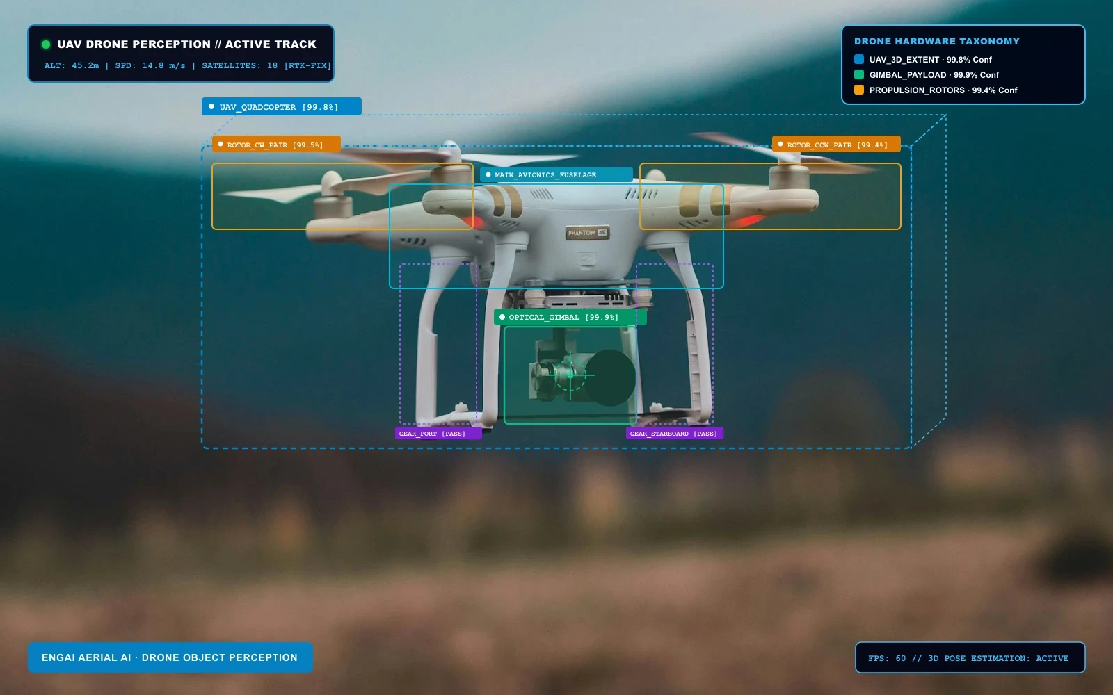
Machine learning is opening up a world of possibilities for aerial image recognition. This technology has countless applications in a wide range of industries. To construct the best computer systems, aerial AI innovators need access to high-accuracy image and video annotation. Our experienced annotation teams and proprietary tools can greatly enhance your aerial AI projects.
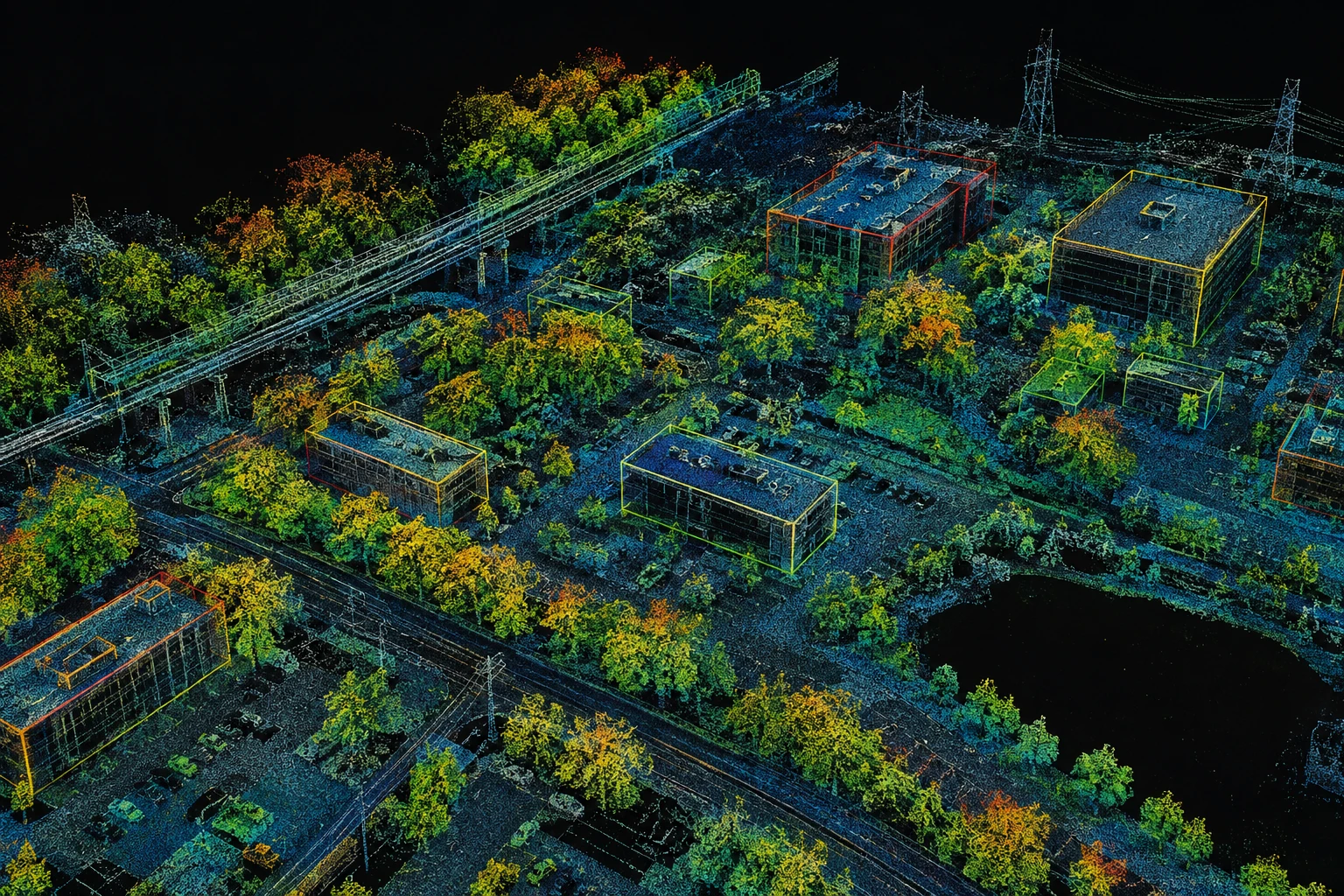
Engai creates clean and accurate training data for your computer vision models. We annotate and label aerial images and videos with various techniques, including orthomosaic segmentation, drone tracking, and multispectral analysis.
Carefully annotated data for aerial perception, automation and research.
Similar textures make land-cover boundaries uncertain.
Trace land-use regions and document transitions between adjacent classes.
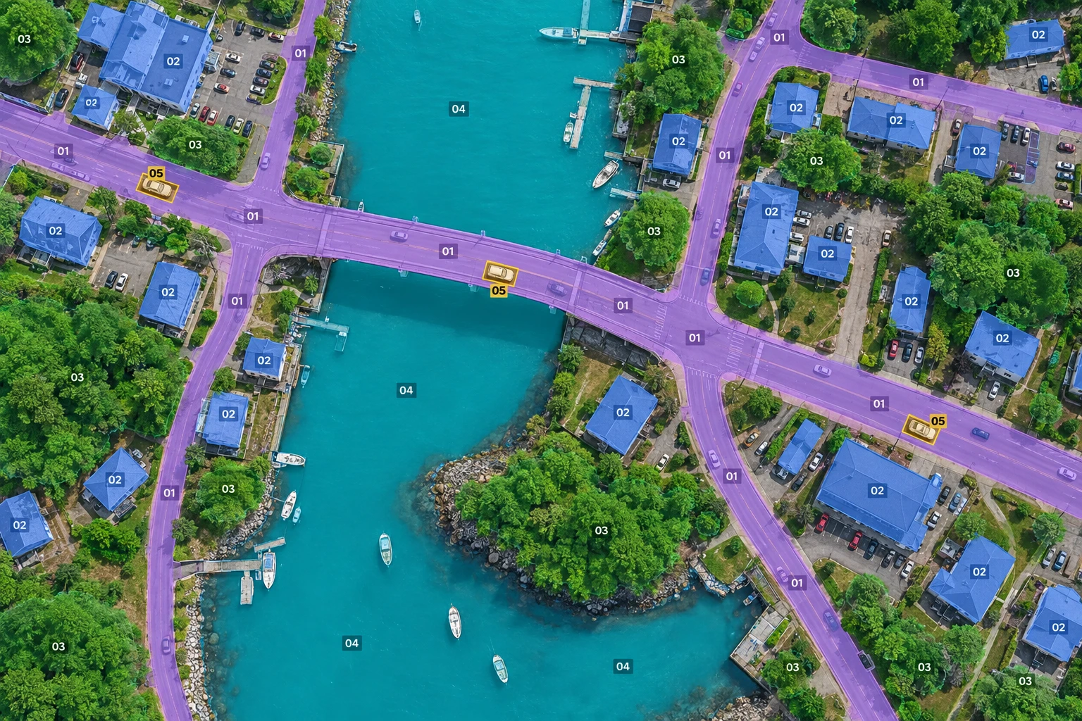
Define classes for buildings, infrastructure and land-cover regions, with visual examples and explicit boundary rules.
Review the effects of lighting, scale and occlusion in drone surveys, satellite scenes and overhead inspections.
Connect aerial labels to source identifiers, scene metadata and the export schema your model uses.
Annotation capabilities
Drone surveys, satellite scenes and overhead inspections need labels that capture real operational detail. Engai prepares aerial datasets around your objects, scenes and review requirements.
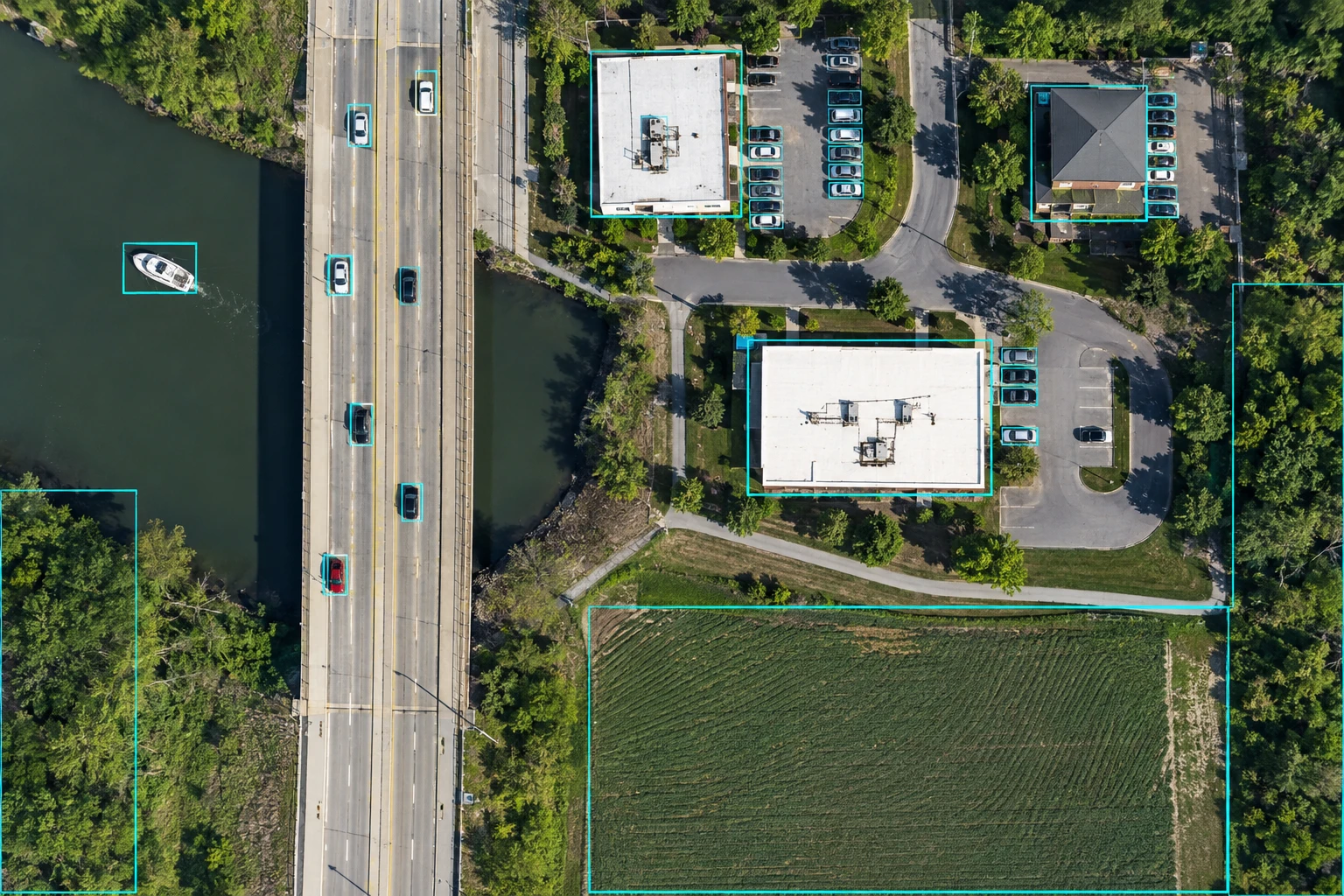
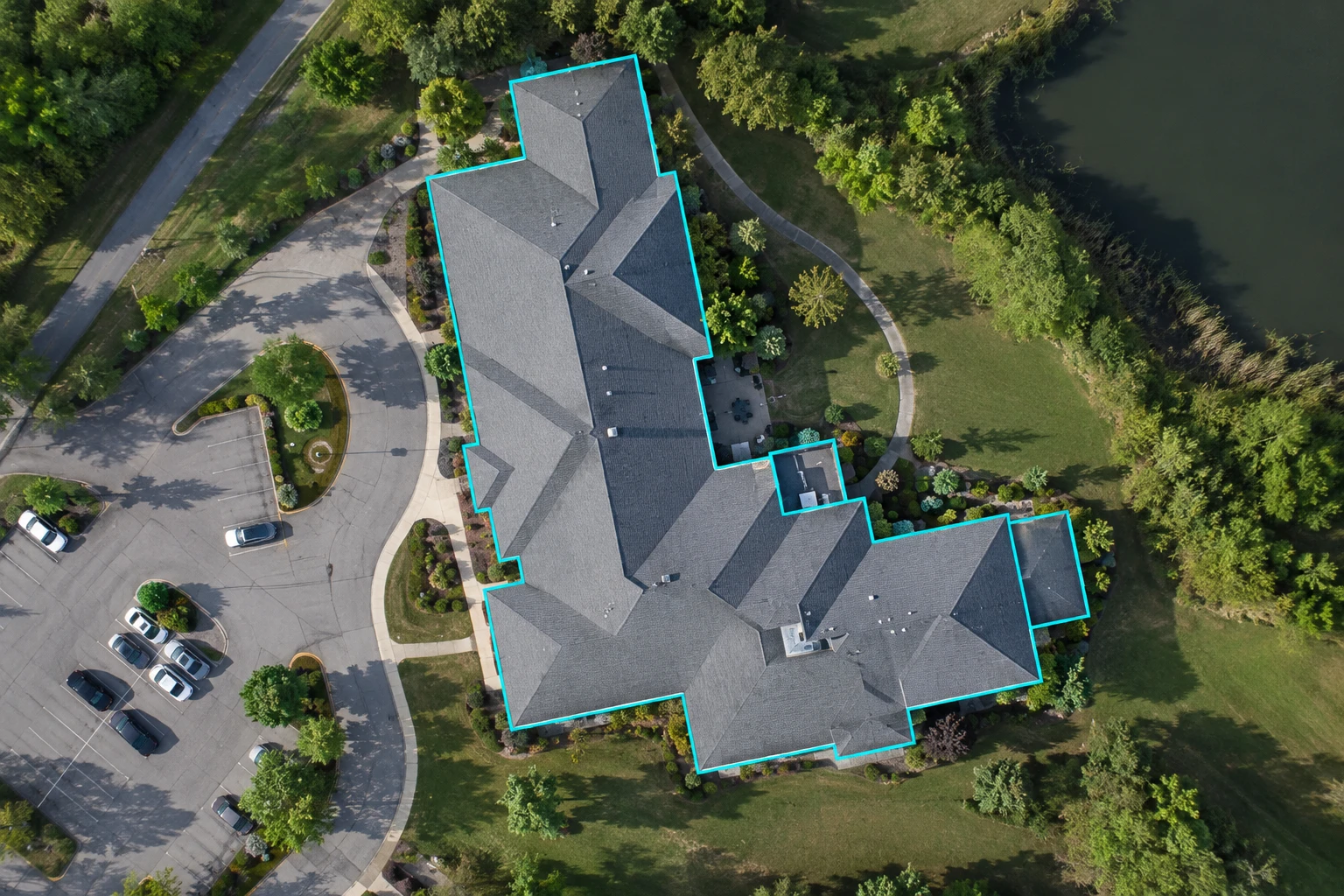
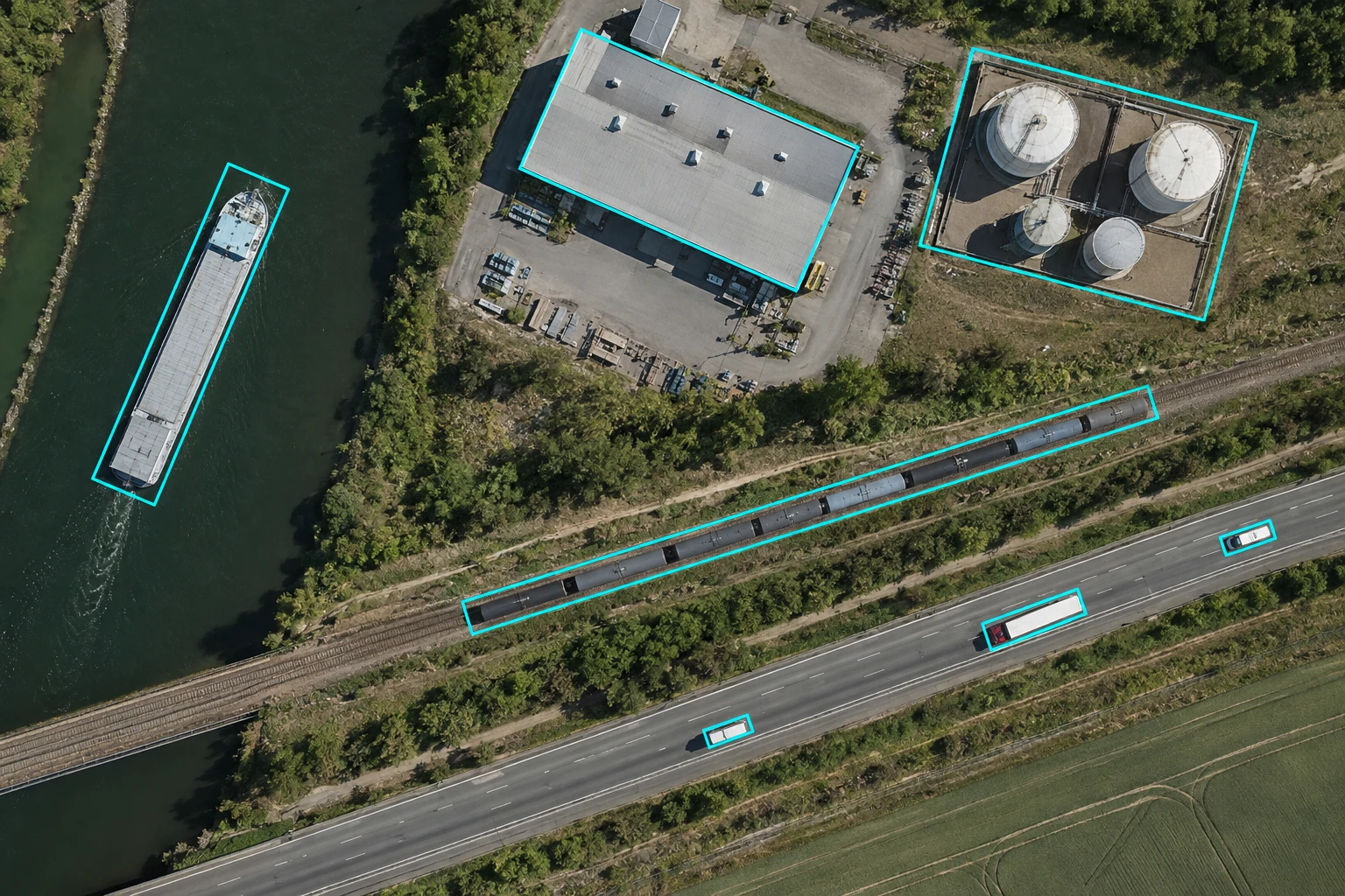
Locate each visible object with an axis-aligned rectangle and a class label. Applied to buildings, infrastructure and land-cover regions.
Outline infrastructure assets and visible condition changes in overhead inspection imagery.
Segment land-cover regions and building footprints while documenting shadows and ambiguous boundaries.
Label landmarks, obstacles and mission-relevant regions for drone navigation and survey research.
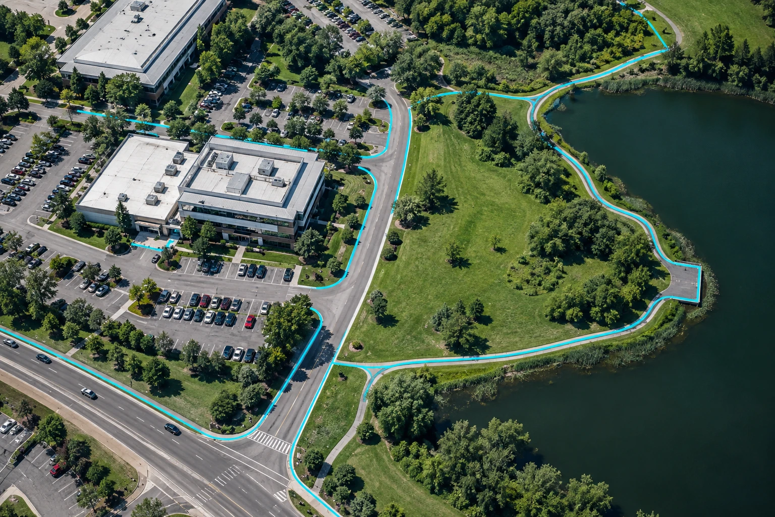
Trace routes, landing areas and surrounding obstacles in imagery used for drone delivery planning.
Structure mission notes, survey findings and reviewed instructions for aerial-operation workflows.

The sample batch helped us agree on how to handle overlapping leaves and partially visible crops.
Having those edge cases discussed early would give our team a clearer baseline before scaling annotation.
Our labeling requirements evolved as we reviewed the imagery. The feedback process felt straightforward.
A shared set of examples and regular checkpoints would help keep the dataset consistent across batches.
Field images are rarely perfect. We appreciated the attention to shadows, occlusion and changes in lighting.
These are the details we would want a labeling partner to consider when preparing data for crop-monitoring models.
Annotation applications across aerial workflows.
Similar textures make land-cover boundaries uncertain.
Trace land-use regions and document transitions between adjacent classes.
Reviewed semantic masks data with a consistent label schema and documented edge cases.
A project target for improving throughput with task-specific training data.
Where calibrated source imagery supports fine spatial measurements.
A project target for reducing review effort through assisted labeling.
Build your workflow around the infrastructure your team uses.
Secure local processing for sensitive datasets.
Highly scalable infrastructure powered by AWS/GCP.
Real-time inference optimized for on-device hardware.
 ONNX
ONNX TensorRT
 Core ML
 OpenVINO
 LiteRT
 TorchScript
 PaddlePaddle
 IMX500
 Qualcomm
 Huawei
Available formats depend on your model, runtime and target hardware.
fill up this form to send your pilot request
Discover how Engai's Data Pipeline and AI Infrastructure platform can make your organization AI-ready:
Automatically discover and map all datasets with contextualized inventory
Effortlessly manage ML lifecycle and address governance gaps
Drastically reduce deployment time by mitigating edge-case risks
Immediately detect and respond to model drift to minimize threat impact
Proactively apply zero-trust protection mechanisms for proprietary data
Your requirements and proprietary sample assets are encrypted in transit and never used for public model training.