



Introducing advanced AI data pipelines for Geospatial

Analyze the Planet at High Resolution

Precision labeling for satellite, aerial, and remote sensing data. We provide the ground truth needed for planetary-scale geospatial intelligence.

Trusted by leading brands

client-logo-0
client-logo-1
client-logo-2
client-logo-3
client-logo-4
client-logo-5
client-logo-6
client-logo-7
client-logo-8
client-logo-9
client-logo-10
client-logo-11
client-logo-12
client-logo-13
client-logo-14
client-logo-15
client-logo-16
client-logo-17
client-logo-18
client-logo-19
client-logo-20
client-logo-21
client-logo-22
client-logo-23
client-logo-24
client-logo-25
client-logo-26
client-logo-27
client-logo-28
client-logo-29
client-logo-30
client-logo-31

Pixels from space aren't maps until they are understood.

Massive geospatial datasets are difficult to process manually, with high error rates in identifying subtle changes in land use or infrastructure over time.

Engai provides the high-precision segmentation and change detection labels needed to automate planetary-scale geospatial analysis.

Intro
Comprehensive AI Capabilities

Geospatial Core Solutions

High-precision computer vision datasets tailored for edge devices, robotic harvesters, and autonomous field operations.

Solution 01 of 02

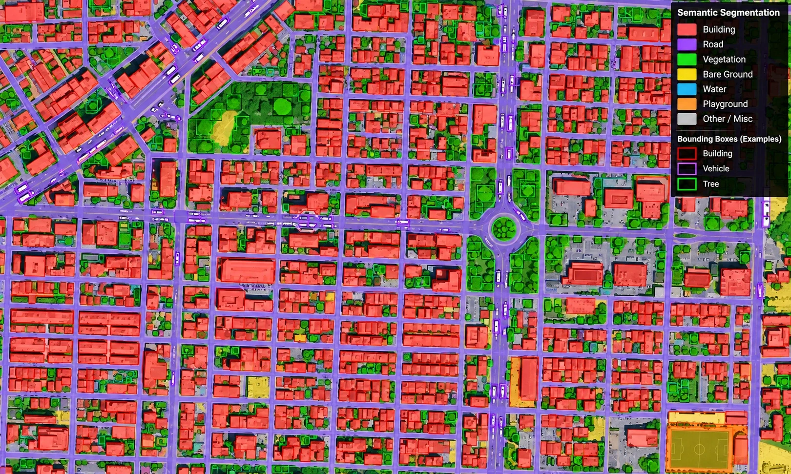
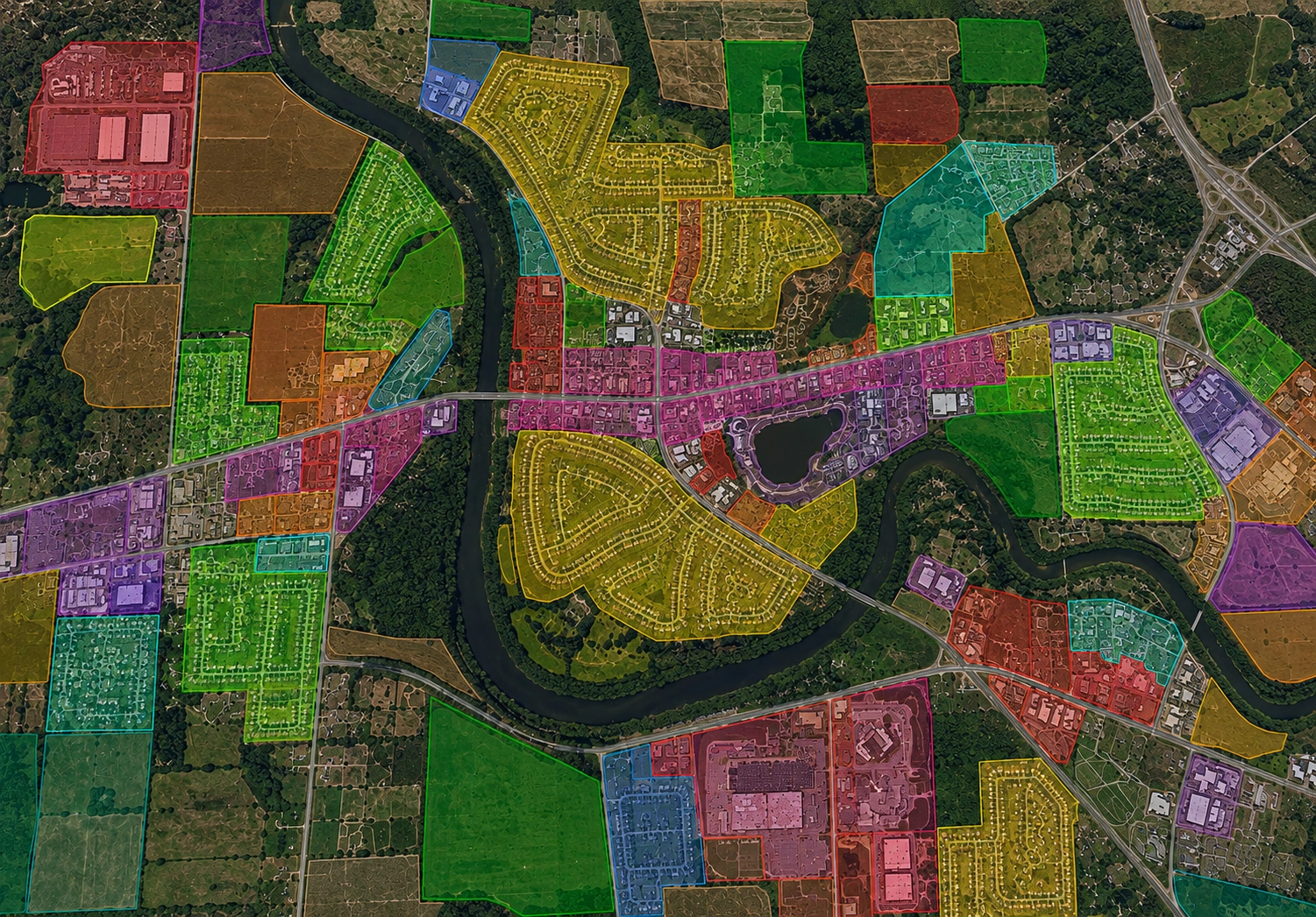
Automated Land Use Mapping

The Operational Challenge

Inconsistent classification of vegetation, water bodies, and developed areas across varying image resolutions and seasons.

Engai Precision Solution

Consistent pixel-perfect semantic segmentation of multi-spectral satellite data with 99% class accuracy.
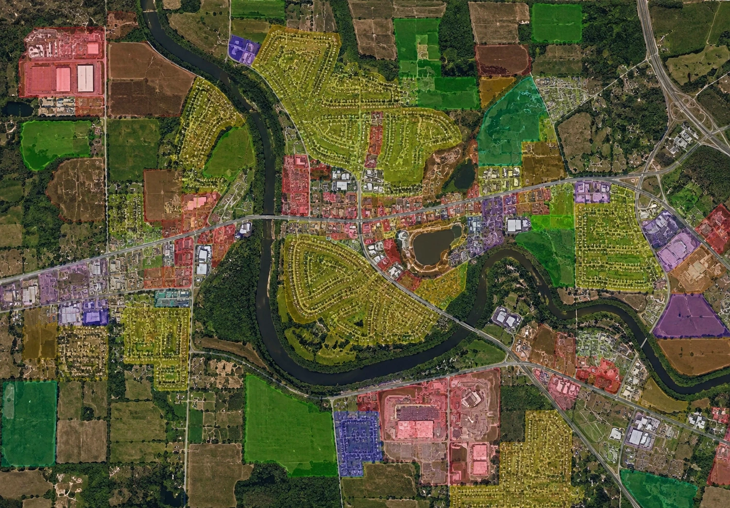
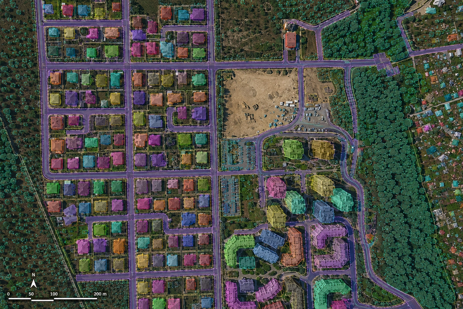
Showing 1 of 2
Automated Land Use Mapping — annotation illustration
AI Model Active · Ground Truth
DATASET: LAND-USECONF: 99.4%

Feature Extraction

Extracting roads, buildings, and building footprints from diverse satellite constellations.

Environmental Monitoring

Detecting deforestation, coastline erosion, and agricultural shifts with high precision.

Multi-Spectral Data

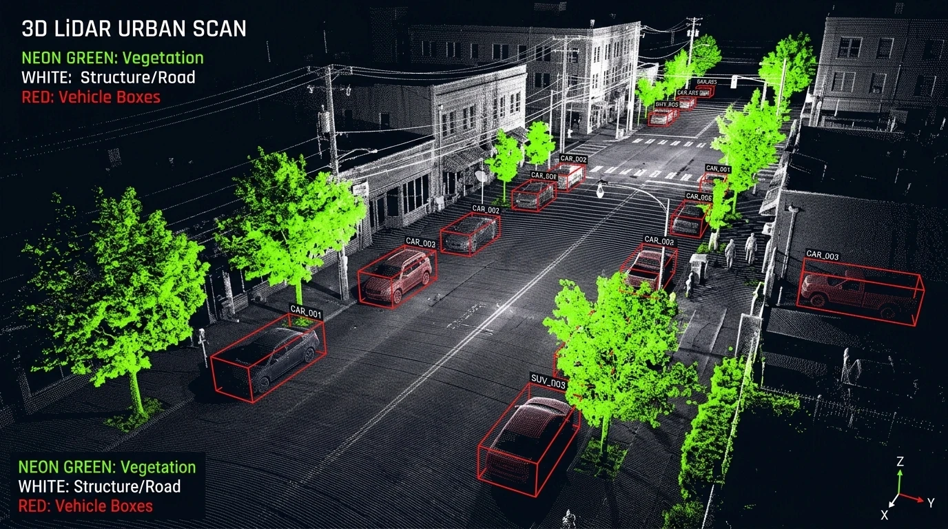
Handling and annotating thermal, infrared, and radar (SAR) datasets for all-weather monitoring.

Service

Planetary-Scale Annotation

Speed up your geospatial pipelines with datasets tailored for remote sensing and GIS applications.

Pixel-Perfect Segmentation
Temporal Change Labels
3D Terrain Reconstruction
SAR/Infrared Support

Geographic Specialists

Our teams are trained in GIS standards and the unique logic of cartographic data.

Massive Throughput

Capable of processing millions of satellite tiles per month for global monitoring.

API-First Workflow

Seamlessly integrate our data output into your existing GIS and MLOps ecosystem.

Case Study
The Challenge

"Mapping every building footprint in a 100,000 km² region within 30 days."

The Solution

Deployed a 500-person team utilizing our priority-routing tool to annotate 45 million structures with polygon precision.

Results delivered
The most accurate regional property tax map in the nation completed 6 months ahead of schedule.
Case Study

Global GIS Solutions

Director of Remote Sensing

30cm
Resolution

Precision labeling for high-resolution commercial satellite imagery.

100M+
Scale

Features extracted and labeled annually across our geospatial client base.

24/7
Uptime

Continuous data operations for real-time disaster and infrastructure monitoring.

Deploy Anywhere

On-Premises

Secure local processing for sensitive datasets.

Cloud

Highly scalable infrastructure powered by AWS/GCP.

Edge

Real-time inference optimized for on-device hardware.

Ready to accelerate your Geospatial AI?

Connect with our vertical specialists to design a custom data pipeline tailored to your unique operational requirements.

SOC-2 Type II Certified

Enterprise-grade security standards.

Petabyte Scale Capabilities

Handling massive dataset volumes.

Rapid Onboarding

Teams deployed in as little as 48 hours.