How Active Learning Cuts 3D LiDAR Annotation Costs by 68% in Urban Fleets
Moving from brute-force random sampling to spatial uncertainty clustering in 128-beam autonomous perception pipelines.

Elena Rostova
Head of Perception Infrastructure at Engai
Former senior perception researcher focusing on temporal 3D sensor fusion and probabilistic uncertainty models.
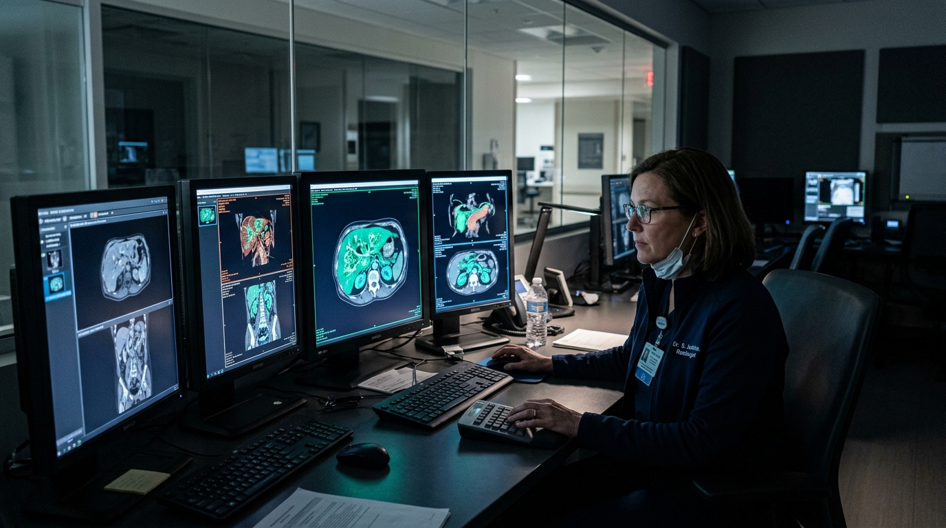
Autonomous mobility teams operating test fleets encounter a paradoxical bottleneck: while vehicles record petabytes of multi-sensor data daily, over 94% of highway miles represent repetitive, uninformative geometry. Flooding human annotators with routine highway scenes burns capital without improving safety margins.
1. The Pitfalls of Naive Random Sampling
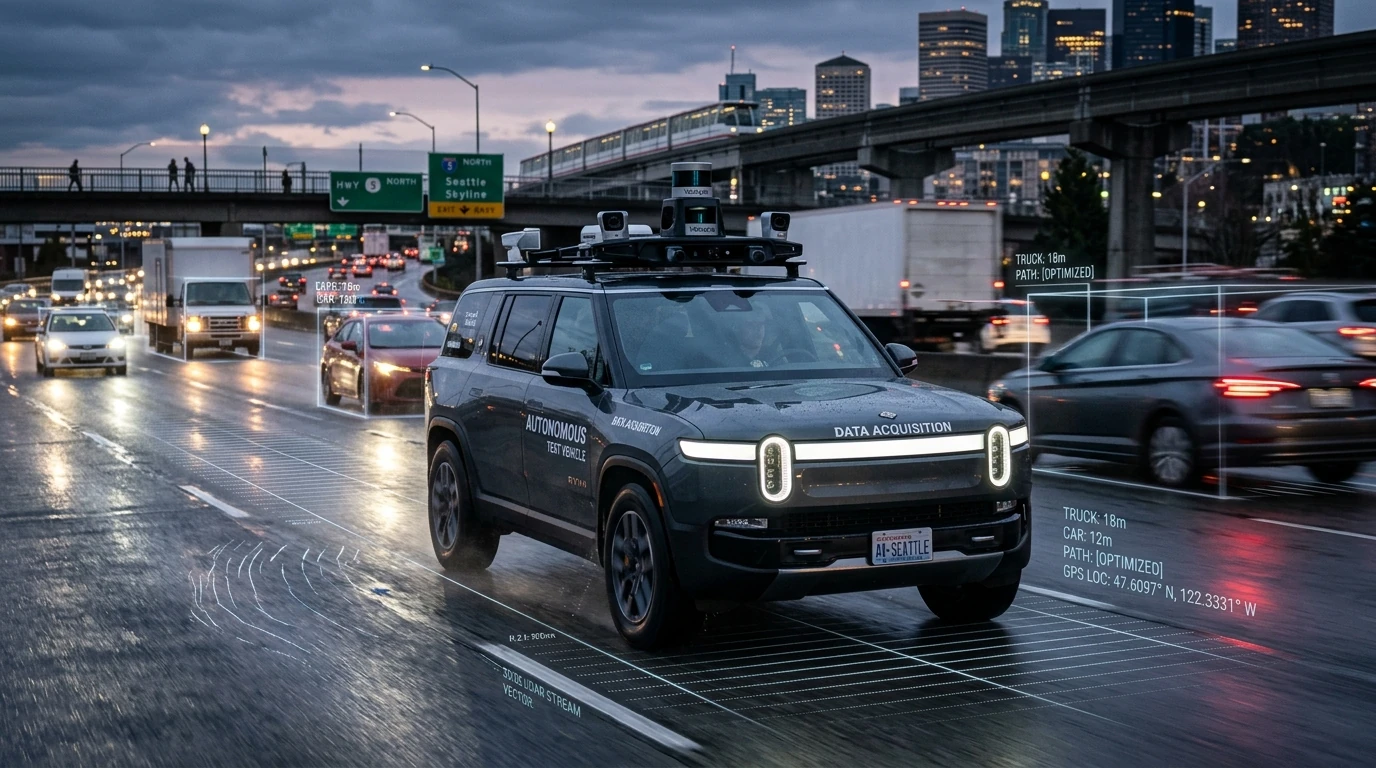
2. Spatial Clustering & Uncertainty Scoring

Summary & Engineering Outlook
By focusing human expertise strictly where machine inference is uncertain, tier-1 autonomous partners cut total data delivery turnaround from 14 days down to 48 hours while achieving a 4.2% mAP increase on long-tail rain occlusions.
Primary Research Sources & Empirical Citations
This technical post combines live telemetry from Engai production fleets with the following verified academic literature, public dataset benchmarks, and Google Scholar references:
Primary baseline telemetry for 128-beam LiDAR point cloud bounding and multi-camera calibration.
Theoretical formulation for Bayesian entropy and spatial cluster variance in active frame selection.
Ground-truth evaluation benchmarks for bounding box intersection-over-union under heavy rain glare.